Drone Mapping
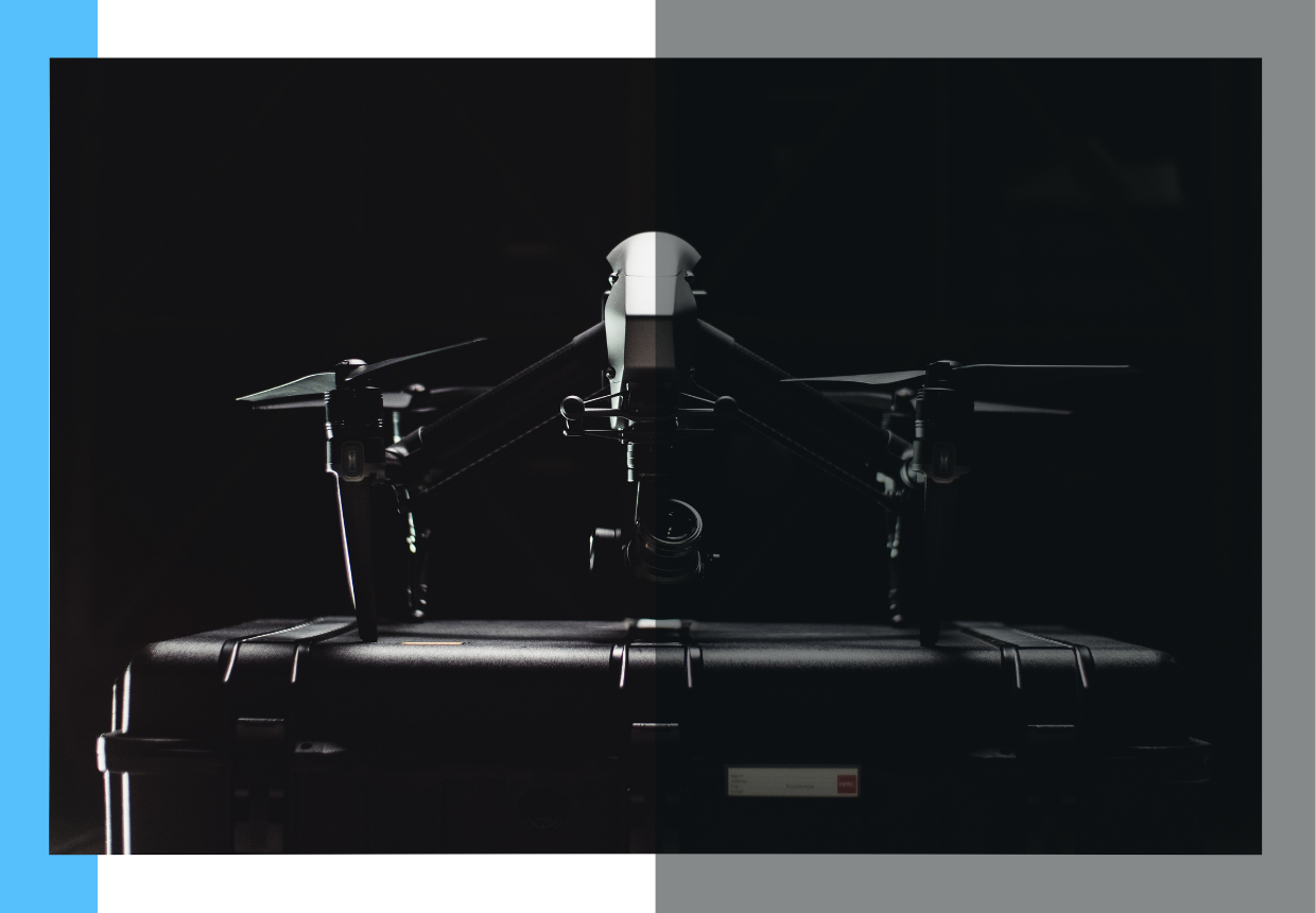
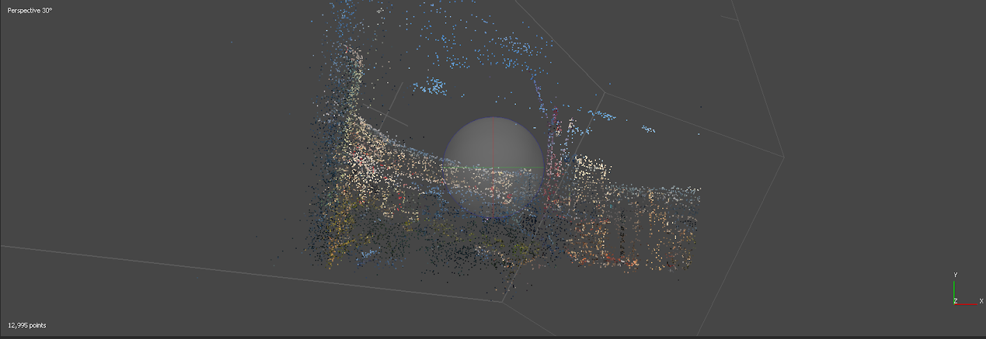
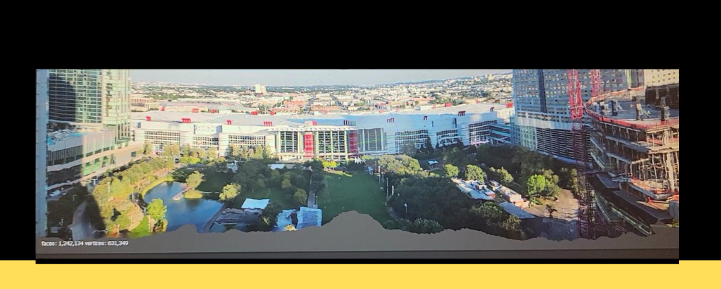
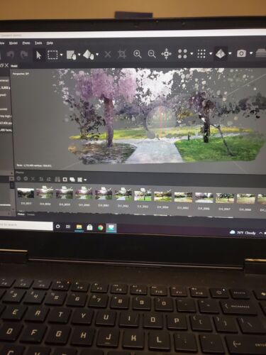
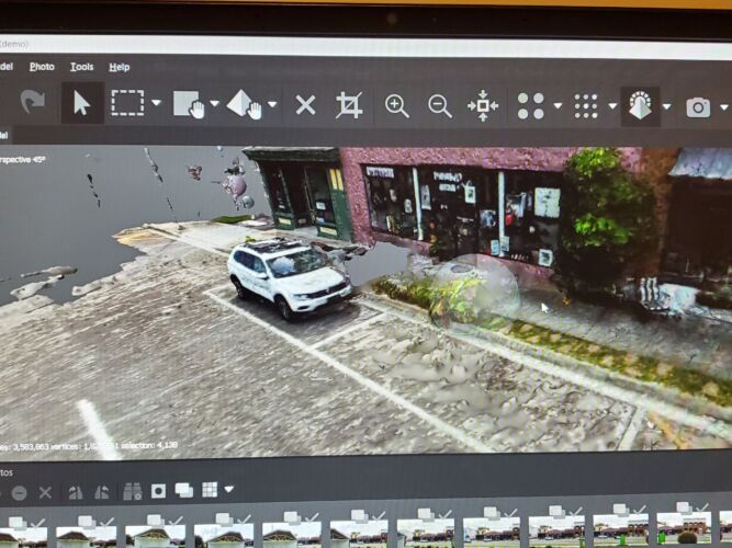
Magellan is our drone mapping service. A UAS is flown over a location to survey the terrain. A series of photos and videos are taken during flight and processed to create a 3D dense point cloud.
From this data we are able to create 3D spatial maps and 3D spatial models. All of our spatial maps and models are real world accurate with a LOD5.
Clear Filters