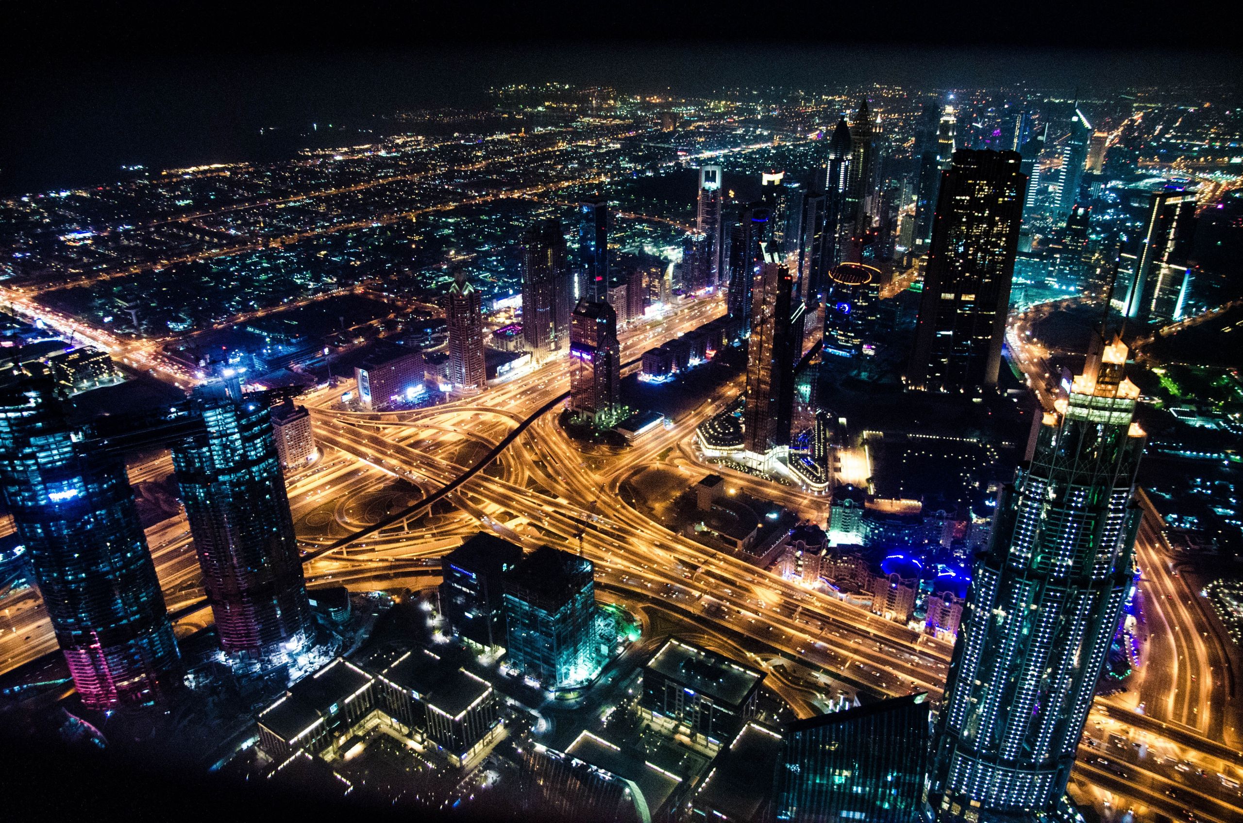
Geospatial Mapping and Visualization in Augmented Reality
Discover the fascinating world of geospatial mapping and visualization in Augmented Reality (AR). Explore the advantages and limitations of this technology and learn from popular geospatial AR apps examples. Join us in the journey of exploring the future of geospatial mapping and visualization in AR.
Geospatial Mapping and Visualization in AR
Geospatial mapping and visualization in AR offers the ability to overlay digital elements onto the real world, bridging the gap between reality and virtuality. By combining detailed maps with location tracking technology, AR enables users to explore the world around them through the lens of a mobile device or smart headset.
We generate Dense point clouds of the surveyed area that can be exported, viewed and navigated through
Real world accurate 3D spatial models with a LOD5 are created from the photos and video footage and are paired with AR technology to be overlayed and viewed in our world.

What is Geospatial Mapping?
Geospatial mapping is the process of creating digital maps using geographic data and various technologies. These maps can range from simple street maps to detailed topographical maps and are used for navigation, decision making, and location-based services.
What is Visualization in AR?
Visualization in AR is the process of rendering digital objects in the real world in a way that they look like natural objects and align with the real world. Visualization in AR involves combining computer-generated images with real-world environments to create a seamless user experience.
Why AR?
AR offers numerous benefits, from a more immersive and engaging experience to better-informed decision making based on real-time data and information. AR can also be used as an innovative tool for businesses and industries, from marketing and advertising to training and education.
Magellan
Magellan is an open world-styled 3D Spatial Map, created from scans of real world locations. Our 3D Spatial Map combines an aerial view with a street-level view. It’s displayed in Augmented Reality using a handheld mobile device.
We generate Dense point clouds of the surveyed area that can be exported, viewed and navigated through
Real world accurate 3D spatial models with a LOD5 are created from the photos and video footage and are paired with AR technology to be overlayed and viewed in our world.

Advantages of Mapping and Visualization in AR
Geospatial mapping and visualization in AR offers many advantages over traditional maps and visualizations. AR overlays digital content onto the real world, providing a more immersive and engaging experience that can be personalized and customized. Here are some benefits and advantages of geospatial mapping and visualization in AR:
Proin condimentum fermentum nunc:
- Lorem ipsum dolor sit amet, consectetur
- Incididunt ut labore et dolore magna aliqua
- Adipisicing elit, sed do eiusmod tempor
Real-time information
AR provides real-time information such as traffic conditions, weather updates, and points of interest, making it easier to navigate and explore the world.
Lorem ipsum dolor sit amet,consectetur adipisicing elit, sed eiusmo tempor incididunt ut labore et dolore magna aliqua enim ad minim.
Lorem ipsum dolor sit amet,consectetur adipisicing elit, sed eiusmo tempor incididunt ut labore et dolore magna aliqua enim ad minim.
Lorem ipsum dolor sit amet,consectetur adipisicing elit, sed eiusmo tempor incididunt ut labore et dolore magna aliqua enim ad minim.

